It's catch up time!
😜 Ha, Ha! (I'm so funny!)
In February, as I said in the last post, the Harker's came for a visit from chilly Canada. We had a wonderful time! We did the usual here, going to the Polynesian Cultural Center, playing games, talking, having fun. That friendship goes back a long way!
This will be mostly pictures.
We spent a week on the Big Island of Hawaii. We stayed in a really nice home down on the southeast coast. (Southeast of Pahoa) It was Hippietown! Anyone that wanted to escape from the world and their problems moved there. We went to Hilo to a Farmer's Market, took a very scenic route to church (aka the GPS got confused), went to a beautiful botanical garden, went to the various Volcano Parks, went to the temple in Kona, and drove around the top half of the island one day and around the bottom half another day. We were at the southernmost point of the United States. We saw some whales, but just barely. I have some videos of them, but apparently, I don't know how to make them work (the videos, not the whales)
 |
| I didn't know he was taking this. At the Polynesian Cultural Center. |
 |
| Our little plane. (But after the planes to and from Molokai, this was HUGE!) |
 |
| At Wailuku Falls. (Roy, Kathy, Jerry) |
 |
| Wailuku Falls |
|
 |
| A Banyan tree. You can see how big they grow! |
 |
| I love how they grow. Little tendrils hang down until they reach the ground. Then they root and turn into another trunk. The tree just keeps getting "thicker". |
 |
| We were trying to take a "selfie"... |
 |
| ...and gave up |
 |
| At the Farmer's Market in Hilo. |
 |
| Liliuokalani Gardens in Hilo (Roy and Kathy) |
 |
| Liliuokalani Gardens in Hilo. |
 |
| Liliuokalani Gardens in Hilo |
 |
| Liliuokalani Gardens in Hilo |
 |
| Liliuokalani Gardens in Hilo A stand of bamboo. |
 |
| Bamboo |
 |
| Liliuokalani Gardens in Hilo |
 |
| Liliuokalani Gardens in Hilo |
 |
| Looking up through the bamboo. |
 |
| A lot of Banyan trees were planted and sponsored by famous people. They are all along "Banyon Drive". This says "Heber J. Grant". |
|
|
|
|
 |
| "Babe" Ruth's tree. |
 |
| Looking up through the Banyan tree. |
 |
| Jerry and a big "Monkey Pod" tree. |
 |
| And looking up through the "Monkey Pod" tree. They are so lacey! |
|
 |
| Liliuokalani Gardens in Hilo |
 |
| Not far from where we were staying. MacKenzie State Recreational Area |
 |
| This is Kathy's and my tribute to "My Big Fat Greek Wedding II" |
 |
| The coastline at MacKenzie State Recreational Area |
 |
| Jerry at Pohoiki Bay and Hot Springs (Isaac Hale Park) |
 |
| Roy has been reading Hawaiian too long. According to him, this sign says: "Let 'ah-way' possess me" |
 |
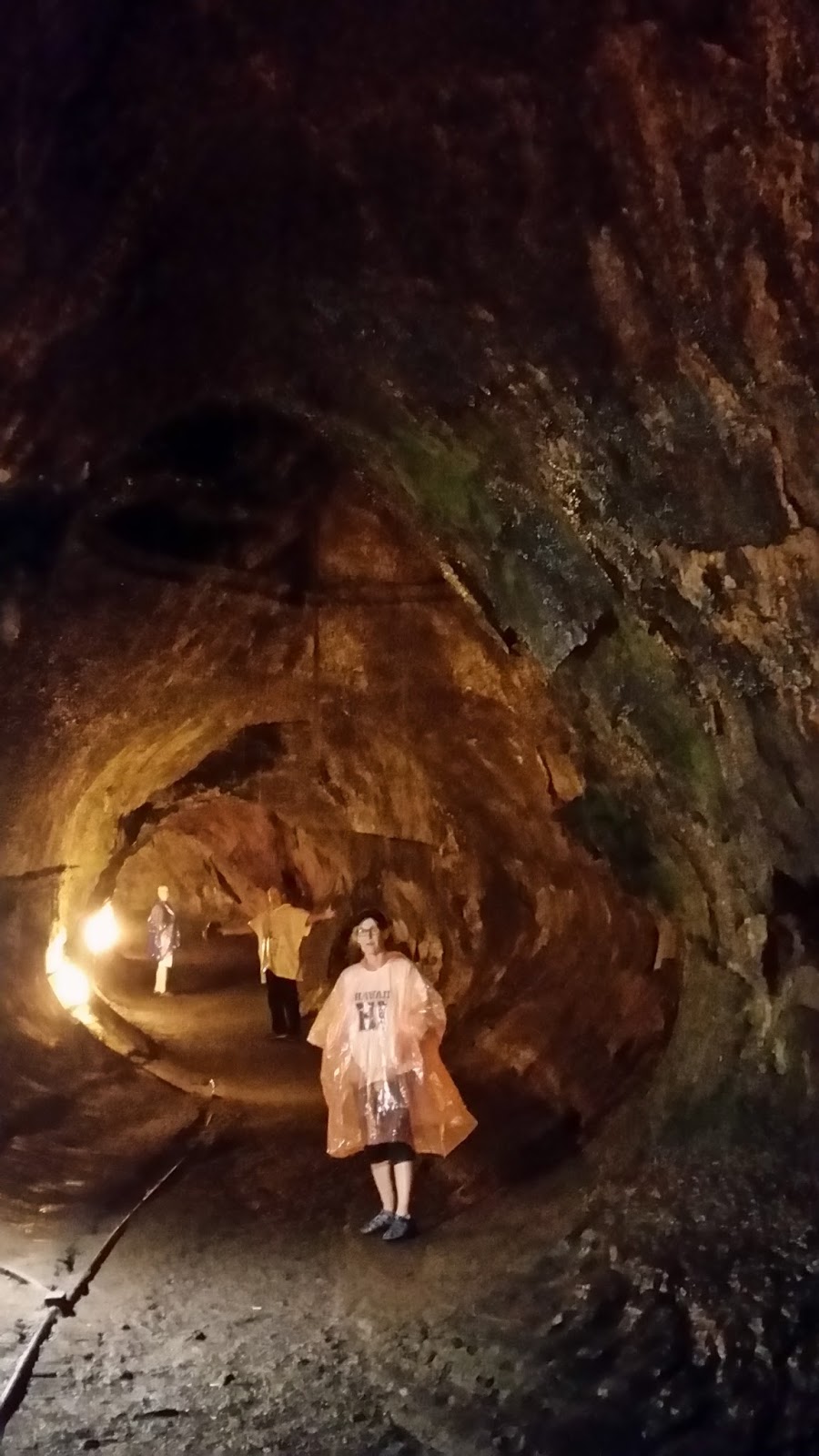
| Our tour through a lava tube. "A lava tube is a natural conduit formed by flowing lava which moves beneath the hardened surface of a lava flow. Tubes can be actively draining lava from a volcano during an eruption, or can be extinct, meaning the lava flow has ceased and the rock has cooled and left a long cave. - Wikipedia |
 |
| Kilauea Volcano. If you can zoom in far enough, you will see lava splashing above the rim. |
 |
| I was fascinated that plants can grow in lava fields. This is the beginning of the breakdown into soil. |
 |
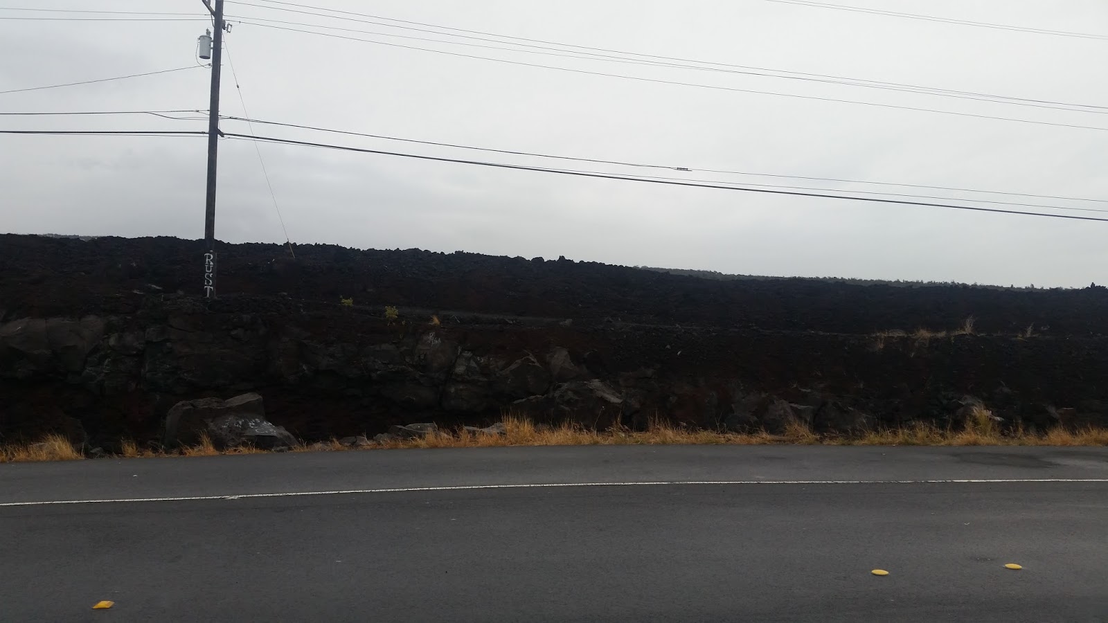
| Vast lava fields. They go for miles. |
 |
| I like the patterns formed by the lava flows as they cooled. |
 |
| More patterns (I've got lots more I could show you. Admire my restraint.) |
 |
| A stop along Chain of Craters Road. |
 |
Mauna = mountain
Ulu = growing
Mauna Ulu = "the growing mountain"
Mauna Ulu is located on the east rift zone of
Kīlauea. Mauna Ulu is approximately 400 ft. (121 meters) high from its
pre-eruption base. At present Mauna Ulu Crater is approximately 100 ft.
(30.5 meters) deep. It erupted in several phases from May 24, 1969 to
July 22 of 1974.
Mauna Ulu recorded high fountaining of 1770 ft. (539.5 meters);only
second to Kīlauea Ikiʻs record making 1900 ft. (579.1 meters)
fountaining. From 1969 to 1974 the Mauna Ulu lava flows covered 17 square miles (44
sq. km), traveled 7 miles (12 km) to the coast and covered several areas
with 25 ft. (7.6 meters) deep lava. (Good old Wikipedia!) |
 |
Holei Sea Arch
Hōlei = a small endemic plant in the milkweed family (Ochrosia).
At the end of Chain of Craters road, there is a short trail to the
ocean and the Hōlei Sea Arch. At present, the sea arch is about 90 ft.
(27.4 meters) high. The creation of this sea arch was within the last
100 years.
This beautiful formation has a limited life span. The sea arch will
eventually crumble and will no longer be a feature of the park. However,
another will replace it as the cliff slowly migrates inland. This impressive sea arch was cut into the cliff of an ancient lava flow,
about 550 years ago. The term used in the creation of this sea arch is
"differential erosion", which is the difference in the hardness of
various layers of lava flow.(Wikipedia) |
|
|
 |
| More plants on lava |
 |
| Kathy and Roy |
 |
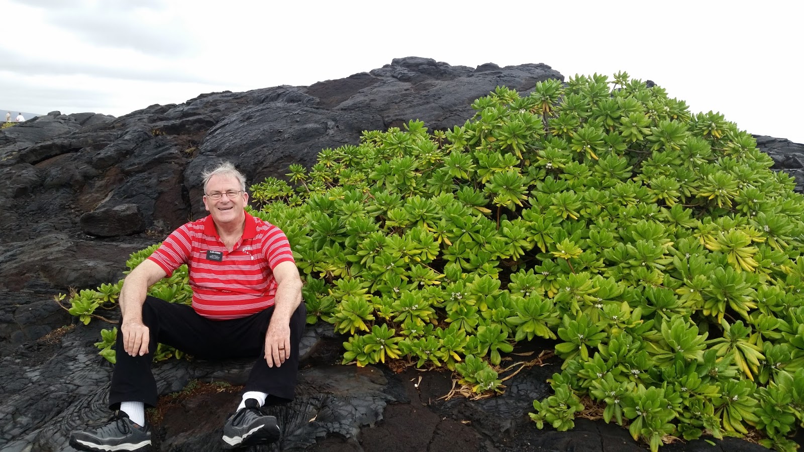
| Jerry |
 |
| I 💖love💖 these signs! |
 |
| More lava flow patterns |
 |
| Kathy and Roy at the Kona Hawaii Temple |
 |
| Jerry and Lynne |
 |
| Kathy and Roy |
 |
| Lava Fields along the southern tip of Hawaii. |
 |
| A description of the area. |
 |
| The sign (previous picture) is behind me. |
 |
| South Point Heaiu (Ka Lae) the Southernmost tip of the United States. |
 |
| Do you think it is windy here? |
 |
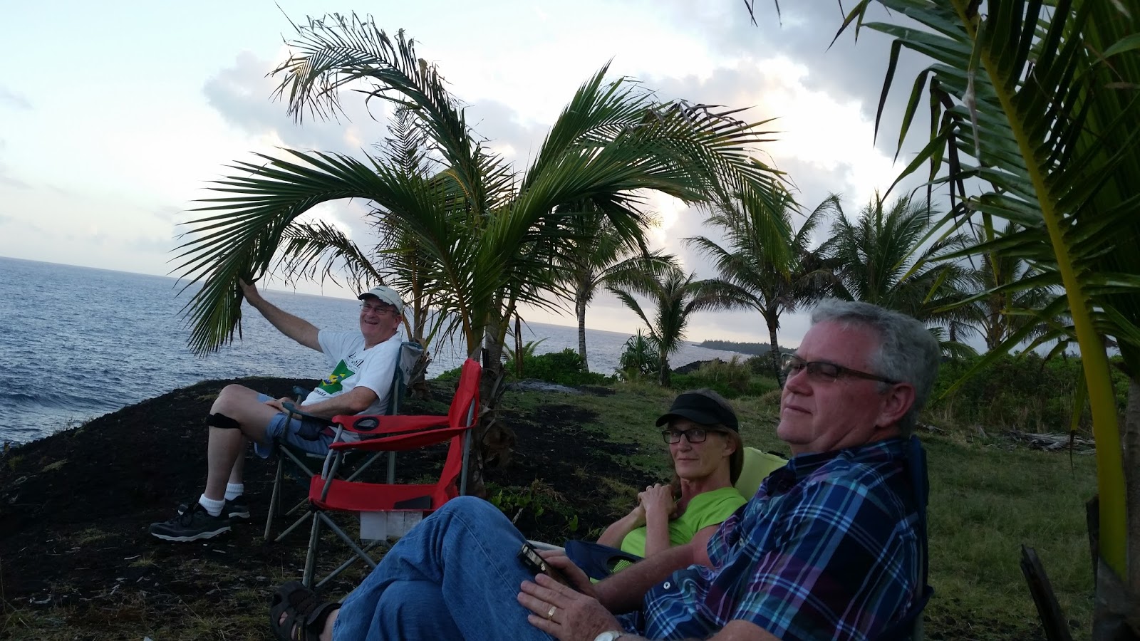
| Watching for whales (nope, didn't see any) at the end of the road to our house. |
 |
| The house we stayed in. |
 |
| The house and the car |
 |
| The shutter speed(?) of the camera is amazing to me. This is how the camera "saw" it. I just saw the propeller going around. |
 |
| Playing "Watch Ya Mouth" |
 |
| Sitting on the second floor deck; erry's phone fell out of his pocket; hit is heel; bounced; and fell off the deck; landed on the rocks below. The result. |
.